Interactive maps are HERE.
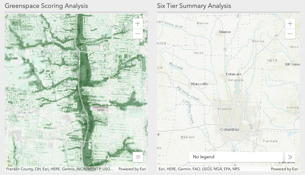
The Greenspace Analysis summarizes existing GIS layers to identify land important for preservation. A scoring system was developed with consideration of parcel-based features (e.g. Parks & Golf Courses), linear features (e.g. Trails & Utility Easements), and features that span multiple parcels (e.g. Wetland & 100yr Floodplains).
Two scoring displays can be viewed in the web maps HERE. Screenshot below:
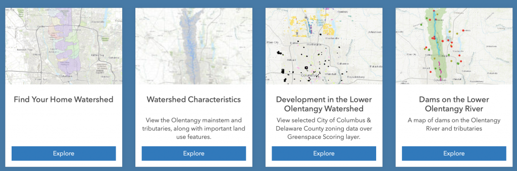
Additional interactive maps include
Find Your Home Watershed, Watershed Characteristics, Development in the Watershed, and Dams on the Lower Olentangy River: all HERE.