
Drones & Spatial Storytelling in Belize
Presented at the ELDAAG Fall 2018 Regional Division Meeting, Ohio Northern University
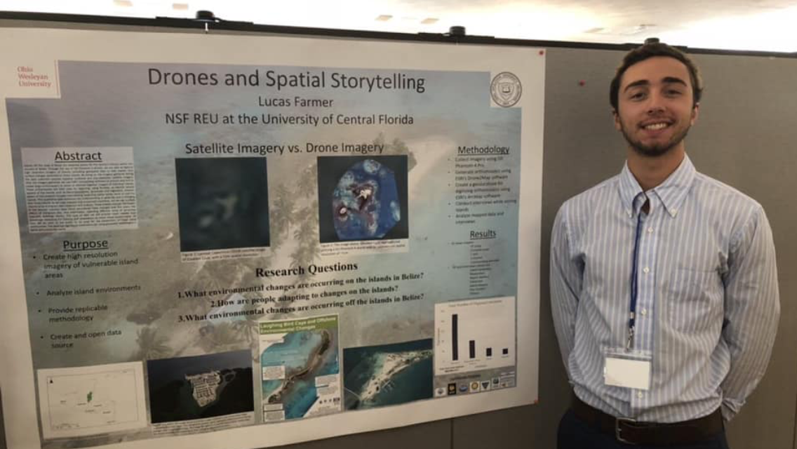
Using DJI Phantom 4 drones, we captured high-resolution imagery off the coast of Belize. This provides geospatial data to help explain observed land surface changes. Imagery gathered during the data collection process replaces outdated and low-resolution satellite imagery. We use ESRI’s Drone2Map software to process data and create orthomosaics of individual islands. These orthomosaics are used for digitizing to identify several aspects of the islands. We interviewed locals that either reside, work, or visit the islands. After analyzing the latter information, some themes include: how island boundaries have changed over the years, the effects of mangrove loss, and information on structures (seawalls, buildings, docks). All data is open to being used for the betterment of these island communities. The work has significant implications for using geospatial technologies in Belize and globally, to provide much needed local knowledge on the impacts and adaptations of these islands.