I met Amy Work through the Teaching with Spatial Technology (TwiST) program that she conducted for educators at the Institute for the Application of Geospatial Technologies in Auburn, New York. The goal of TwiST is to empower student discovery through GIS by teaching K-12 teachers and college faculty the skills and perspectives needed to teach with these tools. Each year, Amy actively grew the network of educators who are using the TwiST content effectively in their own instruction across the country.
I also visited Amy a few times at Cayuga College and was consistently impressed by her ability to conduct research in remote sensing and environmental issues while simultaneously teaching numerous face-to-face and online courses. She was never content to teach just her own students; she has always been keen on teaching other faculty.
Her zeal for making a positive difference in our world through geography and geotechnologies led her to Costa Rica, where she has been working closely with students, community leaders, and conservation organizations for the past few years. As a Directions Magazine reader, you may already be familiar with Amy Work; she and Anne Haywood wrote an article on applying geospatial technologies to solve local problems for our June 2015 edition.
The seeds of Amy’s career were sown back in her high school mentorship program at the City of Westerville Ohio’s Planning and Development Department. “I thought I wanted to be a civil engineer, but this mentorship position, which evolved into a job during school breaks, including summer, introduced me to GIS,” she said. “This was back in the 1990s when not many city governments were using GIS.”
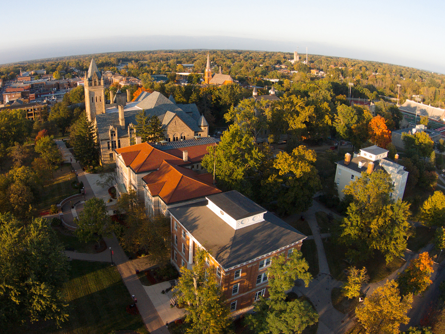
Then, in her freshman class at Ohio Wesleyan University, she took a course called Maps and GIS taught by geography and cartography professor John Krygier. After additional coursework in cultural geography and economic geography, she said, “It all made so much sense to me.”
Amy ended up with a very impressive triple major in geography, urban studies, and environmental studies from Ohio Wesleyan University. She went on to pursue a master’s degree in geography from Syracuse University, graduating in 2006. She then became the GIS coordinator at the Institute for the Application of Geospatial Technologies housed at Cayuga College.
One of Amy’s projects at the institute was to create an interactive tool to foster analytical thinking about global climate change and the potential impact on human health by enabling investigations between climate and socioeconomic and health data. This tool and associated activities focused on real-world issues that people will continue to encounter as changes in precipitation and temperature values impact agricultural lands and food production. This further impacts access and quality of food, altering the availability of freshwater, and exposing greater numbers of people to malaria for the first time via new habitats for malaria-carrying mosquitoes. A critical component of this, and other projects Amy has been involved in, is training educators in the use of the tools and activities that help them and their students investigate the data and gain skills in critical thinking, spatial thinking, and geotechnologies.
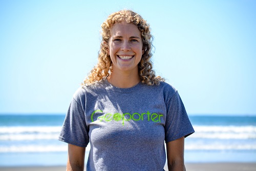
After connecting with Anita and Roger Palmer, founders of GISetc.com, Amy began working and living in Bahia Ballena, Costa Rica in 2012. Bahia Ballena is a unique community. It is the gateway to Marino Ballena National Park, one of the first marine protected areas in Latin America. Tourism related to marine life in the park is the primary income generator for the area. In this community of 3,000 residents, more than 200 individuals thus far have participated in an activity or event using GPS and GIS to map and analyze data. Projects with which Amy has been involved have included reducing trash through community partnerships, combating beach erosion, analyzing water quality, and mapping humpback whale sightings. She engages all of these with the help of GIS and field-collected and mapped data, but more importantly, with the help of the community. Her projects involve teachers, students, community officials, nonprofit organizations, businesses, parents, and others. Her work is funded by Geospatial Educators’ Opportunities for Partnership Outreach Research and Training (Geoporter), a nonprofit organization designed to send educators around the world to solve local issues with GIS.

When I asked Amy to identify what, or who, has been the most inspirational to her career, she replied, “I don’t think I can pick just one class or person. There are so many people who have inspired me along the way, thus the reason I am where I am. However, in my career as a geospatial educator teaching other educators to use geospatial technologies, I had a great group of teachers from Hannibal School District participate [in the summer institutes]. These teachers helped me merge my knowledge of geospatial technologies with what classroom teachers needed the most. Prior to these workshops, I had only taught GIS and remote sensing labs for technical skills. I began teaching GIS for the purpose of engaging youth in exploring their community and their world. Therefore, it is Bob Jones, Carol Burch, and Tom O’Neil to whom I owe so many thanks for not only sharing their knowledge, but becoming true friends.”
One of the things I admire about Amy is that she actively connects with her alma mater. She has partnered with students and faculty at Ohio Wesleyan University, for example, to bring them to Costa Rica and involve them in community projects there: One examined what could be done to reduce yearly water shortages, another examined banana plantations, and another used a UAV to collect high resolution imagery for the coastal area near Bahia Ballena.
Another thing I admire is that Amy doesn’t just study a topic—she acts upon the knowledge that she gains. For example, as part of the Semilla de Ballena (Seeds of Ballena) project, she and community members germinated and planted 1,000 manglillo, sota caballo, and cedro maria trees to combat beach and soil erosion. In another example, Amy doesn’t just say, “Schools are important to the region’s future,” and leave it at that—she actively works with educators to identify their needs and empower them in the use of GIS, GPS, and remote sensing technologies. In other words, she practices what she preaches. She is patient—whether with trees or with people—she realizes that thoughtful efforts focused on important issues will reap long-term benefits.
Amy is also a good listener. You don’t move to another country and work on successful projects with local people by blazing forward with your own agenda; you do it through careful listening to their needs, building trust, and working toward common goals.
I have taught with Amy for many years as part of the Teachers Teaching Teachers GIS (T3G) program at Esri, a professional development opportunity that resulted in an online community and a face-to-face intensive GIS-focused institute. I have been consistently impressed with Amy’s focus on doing everything to the highest standards of quality, down to the smallest detail of instruction or component of the lesson.
After listening to Amy’s keynote speech at a recent Applied Geography Conference, I could not help but think that her efforts have always been exactly that–applied. She applies what she knows to teacher training, to teaching students, and to helping people and communities achieve their potential.
Amy has been involved with many projects involving geography over the years, but the one she is perhaps proudest of is a Syracuse Community Geography project with which she was involved while studying for her master’s degree. The project applied GIS to social issues such as food security and access to resources for senior citizens. It was an expansion of how GIS and geography could help city organizations and institutions better understand their clients, their clients’ needs, and how to best allocate their resources.
Amy says she is also proud of what she is currently doing with Geoporter and teaching community residents to apply the technology to their own concerns. “Perhaps it’s hard to say I am most proud of this project, because to me it is still ongoing. It’s not complete. Maybe in time I will see it not as my daily work, but as something to be extremely proud of.”
Given Amy’s leadership, I asked her what she thinks is the most important thing we, the geography community, need to work on. Amy responded, “I think we should continue to look at social and human dynamics related to environmental changes; for example, applying geography to human health, including infectious disease, or just for a better understanding of individuals’ medical histories. How do changing climates impact disease patterns and incidence? Furthermore, how does climate impact the political sphere or the refugee crisis, and how does it alter access to food and water resources?”
Amy’s advice to new geographers? “Geography is all around us. Find what interests you and apply your skills to helping better understand that topic. Keep trying and you will be a geographer. There are so many of us in the world, and when you do meet them, you will find you have so much in common.”
Amy believes in dreaming big and making those dreams a reality. As she said in an article for the Ohio Wesleyan University news, “If you would have told me when I was in college that I’d be living in the tropics and working, I would have said you’re joking, there is no way…Now I know that anything’s possible.”
For more information about Amy Work’s projects, see the Geoporter nonprofit organization’s webpage.











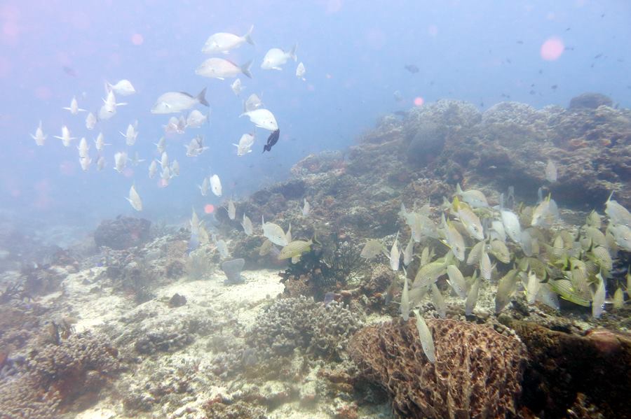


 The turtles will lie there chomping on coral, digging at it with their beaks. I may postulate that the type of coral matters, which makes the coral and sponge diversity important to the turtles.The relative shallow depths of these reefs allow turtles to live and feed well while still having fairly quick access to the surface for air. Here is a Green Sea Turtle who was eating but is now looking at the diver taking the photo.
 The Drumfish is one of the most elegant and beautiful species of fish I was ever fortunate enough to observe. They are shy and love to hide under small, shallow ledges. Diversity of structure is one of the most important aspects of coral reef health. In this case, structural diversity allows for the shy to hide their faces and the very shy to hide their entire body. An example of the very shy would include the endemic species to Cozumel, the Splendid Toadfish who hides in a hole day and night.